
Get to Know RG AI
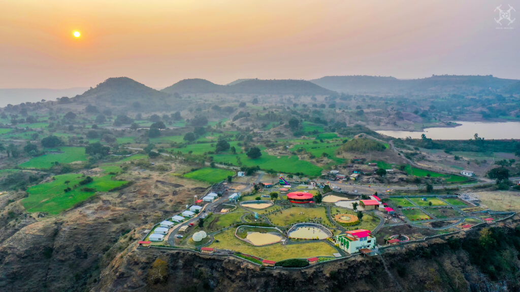
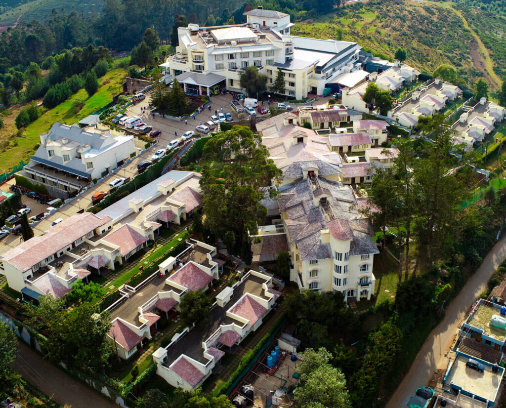
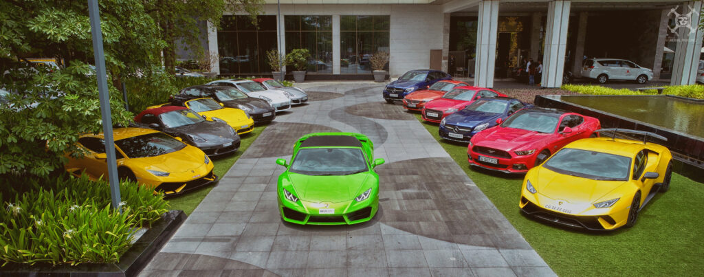
The point was not to workout what it is but to show how weird and wonderful the world can look from above and this was how RG Creations was transformed to RG Aerial Imaging. RG Aerial Imaging is an Indore based team found in 2010 with skilled and creative professionals who are not only photographers but artists who believe in capturing moments for an individual smile. Our main goal and passion is to capture nature's art and shoot wedding from a perspective and creativity one has never seen before. We offers supreme quality services in the field of direction, cinematography, animation, editing and other technical works. Our specialisation includes unique collection in Aerial Photography, 3D Mapping, Wedding, Pre-Wedding, Film Making, Culture Photography, Baby Portfolio, Fashion Photography, Commercials, Advertising, Photojournalism, Still life, Product Shoot, Industrial Shoot and many more.
- Commercial Photography
- Product Shoot
- Industrial Shoot
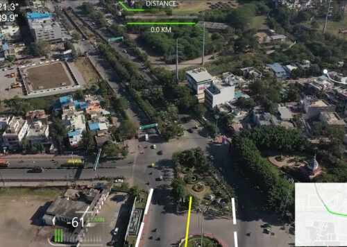
- Government Projects
Services
Corporate Photography
We help brands communicate through visual storytelling Because corporate photography is the only language
Read MoreIndustrial Photography
Humanize your brand with industrial photography Show your hard work with professional visuals Get A Free
Read MoreProducts & Packaging Photography
Product packaging photography solution for your brand Because a picture speaks louder than words Get A Fr
Read MoreVisit our best photo gallery
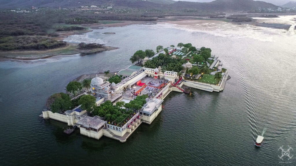
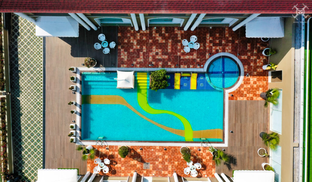
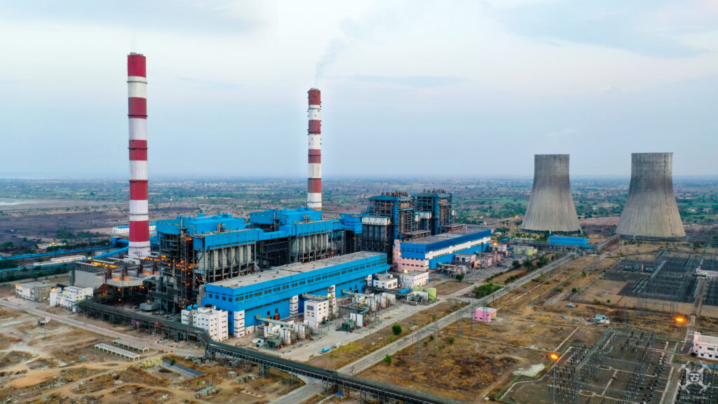
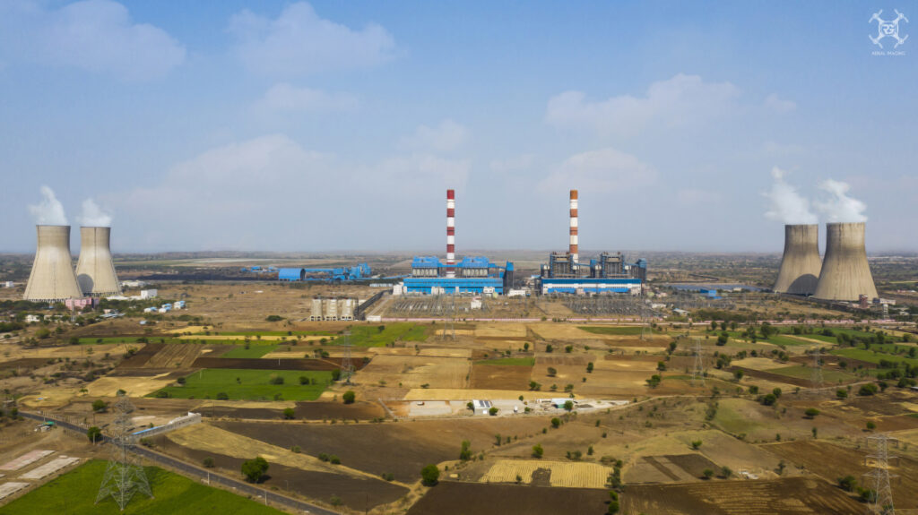
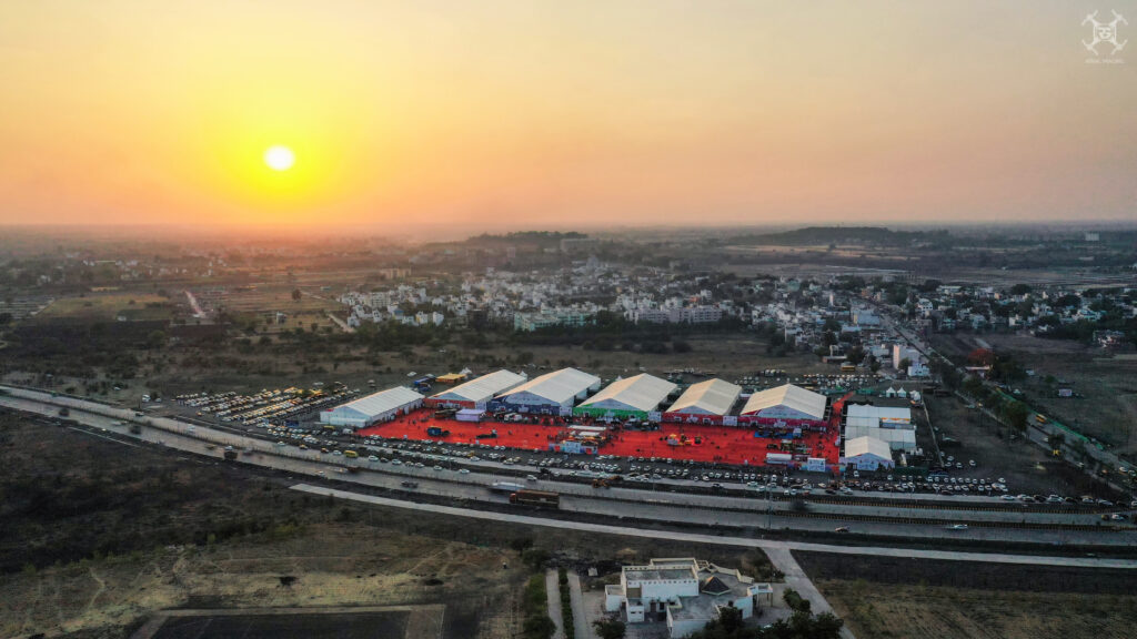
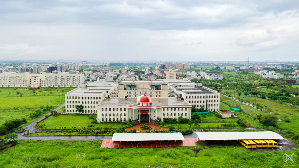
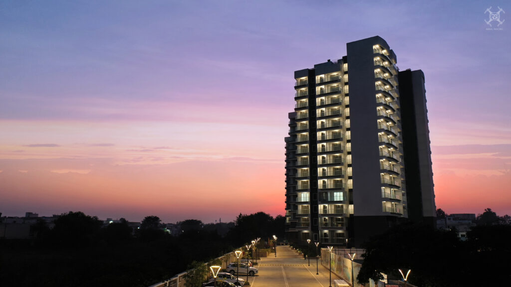
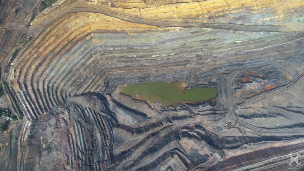
Welcome to our captivating photo gallery, where we invite you to immerse yourself in a world of visual storytelling. Each photograph within our gallery has been carefully curated to evoke emotions, inspire curiosity, and ignite your imagination.

The latest news from drones life
Dive into a treasure trove of captivating articles, insightful stories, and expert advice. Our blog is a hub of inspiration, covering a wide range of topics from art and culture to technology and lifestyle.
- December 13, 2020
suffered alteration in some form, by injected humor, or randomize.
- August 9, 2023
Perhaps the most powerful technology available for tracking vehicles and individuals are unmanned aerial vehicles (UAVs), also referred to as drones. A UAV for instance is a powered, aerial vehicle without a human pilot which uses aerodynamic forces. Military aircraft that is guided autonomously, by remote control, or both and that carries sensors, target designators, offensive ordnance, […]
- August 9, 2023
Drones allow users to get a bird-eye-view on the entire project and reveal concerns that would be impossible at ground level inspections. Geotagging capabilities of drone maps enable the capture of necessary area measurement and transform it into an estimated stockpile volume for quick, reliable decision-making. After data collection, the information is then processed and […]
Words From Our Clients

