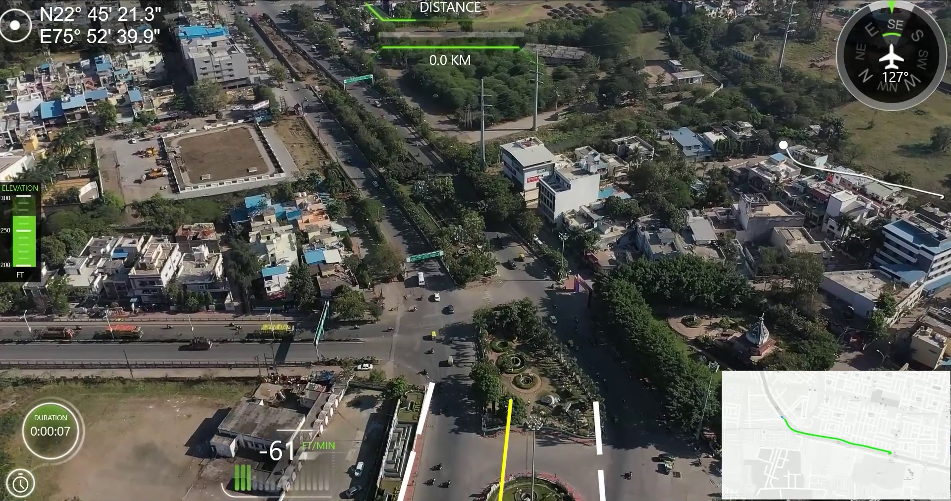
Drones allow users to get a bird-eye-view on the entire project and reveal concerns that would be impossible at ground level inspections. Geotagging capabilities of drone maps enable the capture of necessary area measurement and transform it into an estimated stockpile volume for quick, reliable decision-making. After data collection, the information is then processed and […]
Perhaps the most powerful technology available for tracking vehicles and individuals are unmanned aerial vehicles (UAVs), also referred to as drones. A UAV for instance is a powered, aerial vehicle without a human pilot which uses aerodynamic forces. Military aircraft that is guided autonomously, by remote control, or both and that carries sensors, target designators, offensive ordnance, […]


