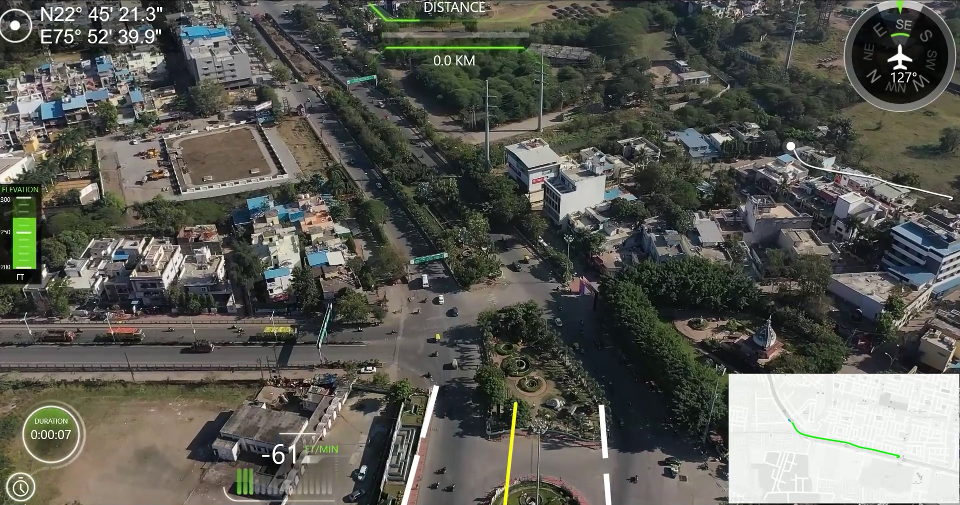
UAV GAME-CHANGER FOR CONSTRUCTION INDUSTRY
Drones allow users to get a bird-eye-view on the entire project and reveal concerns that would be impossible at ground level inspections. Geotagging capabilities of drone maps enable the capture of necessary area measurement and transform it into an estimated stockpile volume for quick, reliable decision-making.
After data collection, the information is then processed and analyzed through advanced software for enhanced operations, preparations, and improvements. Some essential applications of Drones and UAVs in construction monitoring are as follows:
- 3D Mapping – Through accurate Aerial monitoring and inspections, Drones provide data for 3D creations and orthomosaic maps of the construction sites.3D Mapping gives rise to greater control over projects, updating stakeholders frequently, and easy detection of illegal constructions by the government, in a fraction of the time and expense of traditional practices.
- Aerial Photography & 3D Modelling – D models enable detailed representations of the constructor’s vision and can conveniently be viewed online. Architects and interior designers rely on these models for future planning and landscaping.
- Construction Progress Monitoring- As the project continues to embody the constructor’s vision, it is crucial to develop regular flight routes over and around the construction site for real-time progress monitoring.
- Volumetric Measurement – Aerial Photogrammetry warrants seizing extensive areas (2D and 3D) with almost 99% accuracy! The volumetric measurements are not just highly accurate, but also quick to capture, cost-efficient, and very convenient as they do not disrupt any day-to-day operations on-site.
